Is there an easy way to generate a ward boundary map, with households marked, and add a grid?

8 postsstarted by ryanmercer 12,354 viewsoriginal topic

New Member
#1
As a stake emergency preparedness coordinator I have been tasked with creating a ward boundary map, with the households marked, that I then put a 1x1 mile grid over. Our stake wants us to create a ward emergency plan, that includes a communications grid (for FRS, GMRS, UHF/VHF) that members can easily walk quickly in the event of an emergency to check on assigned households so it can be radioed in. Our ward is roughly 15x15 miles so not as easy to do as it would be for say a Utah ward with a high population density.

Once we develop this plan, it will be used as the template for all of the wards in the stake and the area has expressed interest in seeing how it plays out for potential adoption area-wide. That being said, I need a way to make this easily replicable and something that isn't "find a color printer to print the ward boundary map from https://directory.churchofjesuschrist.org/, get a ruler out and create a grid using the scale, scan and send to ward leadership".

Is anyone aware of any way to do something like this with the various church maps? It sounds like there actually used to be an option to do this when you went to print the map, which has been deprecated. In fact, I can't even find a way to print the directory.church map anymore without just printing the entire page or screenshotting it, and the cdol.churchof map only has the boundary, not the households.
Community Administrator
#2
ryanmercer wrote: Tue Jan 31, 2023 1:41 pm something that isn't "find a color printer to print the ward boundary map from https://directory.churchofjesuschrist.org/, get a ruler out and create a grid using the scale, scan and send to ward leadership".
Well, you could do that electronically, using something like Microsoft Paint ...

It's either that, or using some mapping software (I wonder if Google Earth would work?) and replicate the boundaries manually.

Boundary maps are still available in CDOL, but you may need the clerk to download it for you.
Have you searched the Help Center? Try doing a Google search and adding "site:churchofjesuschrist.org/help" to the search criteria.

So we can better help you, please edit your Profile to include your general location.
Community Moderators
#3
russellhltn wrote: Tue Jan 31, 2023 2:42 pm Boundary maps are still available in CDOL, but you may need the clerk to download it for you.
Ward clerks no longer have that access. Perhaps stake clerks may still have that access.
JD Lessley
Have you tried finding your answer on the ChurchofJesusChrist.org Help Center or Tech Wiki?
Senior Member
#4
Edited 1 time, last by garystroble on
jdlessley wrote: Tue Jan 31, 2023 8:00 pm
russellhltn wrote: Tue Jan 31, 2023 2:42 pm Boundary maps are still available in CDOL, but you may need the clerk to download it for you.
Ward clerks no longer have that access. Perhaps stake clerks may still have that access.
This ward clerk can access boundary maps in CDOL. Not sure what the issue is that yours cannot.

The local stake and wards in the stake boundaries also show in LCR Ward Directory and Map on the church web page.
Community Administrator
#5
I know I've struggled to find things in the new layout.

Check "General information" tab, right column toward the bottom.
Have you searched the Help Center? Try doing a Google search and adding "site:churchofjesuschrist.org/help" to the search criteria.

So we can better help you, please edit your Profile to include your general location.
Community Moderators
#6
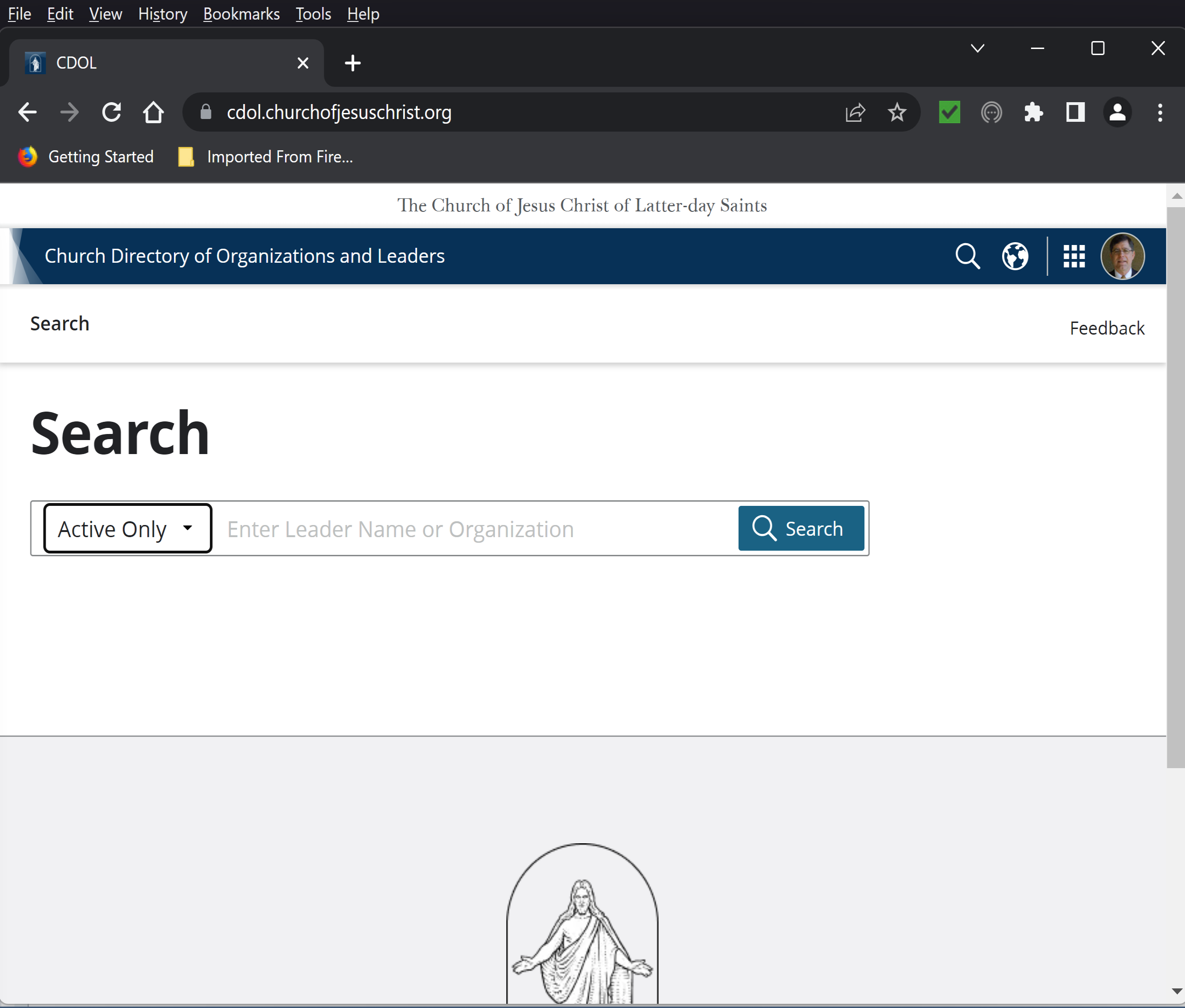
For me there are no tabs and only a search box for unit names or leader names.

CDOL.png
JD Lessley
Have you tried finding your answer on the ChurchofJesusChrist.org Help Center or Tech Wiki?
Community Administrator
#7
jdlessley wrote: Tue Jan 31, 2023 8:16 pm For me there are no tabs and only a search box for unit names or leader names.
You have to search for your ward's name.
Have you searched the Help Center? Try doing a Google search and adding "site:churchofjesuschrist.org/help" to the search criteria.

So we can better help you, please edit your Profile to include your general location.
New Member
#8
Yeah, I'm not a clerk and I can even access 2 PDF ward boundary maps on https://cdol.churchofjesuschrist.org/en, but you can't see where anyone lives like you can via the ward directory map page. On the ward directory map page, I'd have to zoom in and probably print a dozen or so individual screenshots to identify where households are and then have to line up screenshots and whatnot. For my ward, it also shows two non-existent meetinghouses inside the boundary as well as our actual meetinghouse just outside of the boundary.

I guess I'll just report back to everyone that there simply isn't an easily replicable way to do what we want and that we'll just have to come up wth another idea.